Riding a bike is a simple and easy form of transport. You don’t have to be a certain age or fitness level to use a bike to get around Whitehorse.
Our Easy Ride Routes network uses off-road cycle paths and low-stress local streets to help make bike riding for short local trips safe and comfortable.
We’ve created 8 specially designed routes across Whitehorse for riders of all abilities to use. Each of them connect with at least one other Easy Ride Route on the network. Remember to follow all local road rules and ride to the weather conditions.
Easy Ride Routes Map
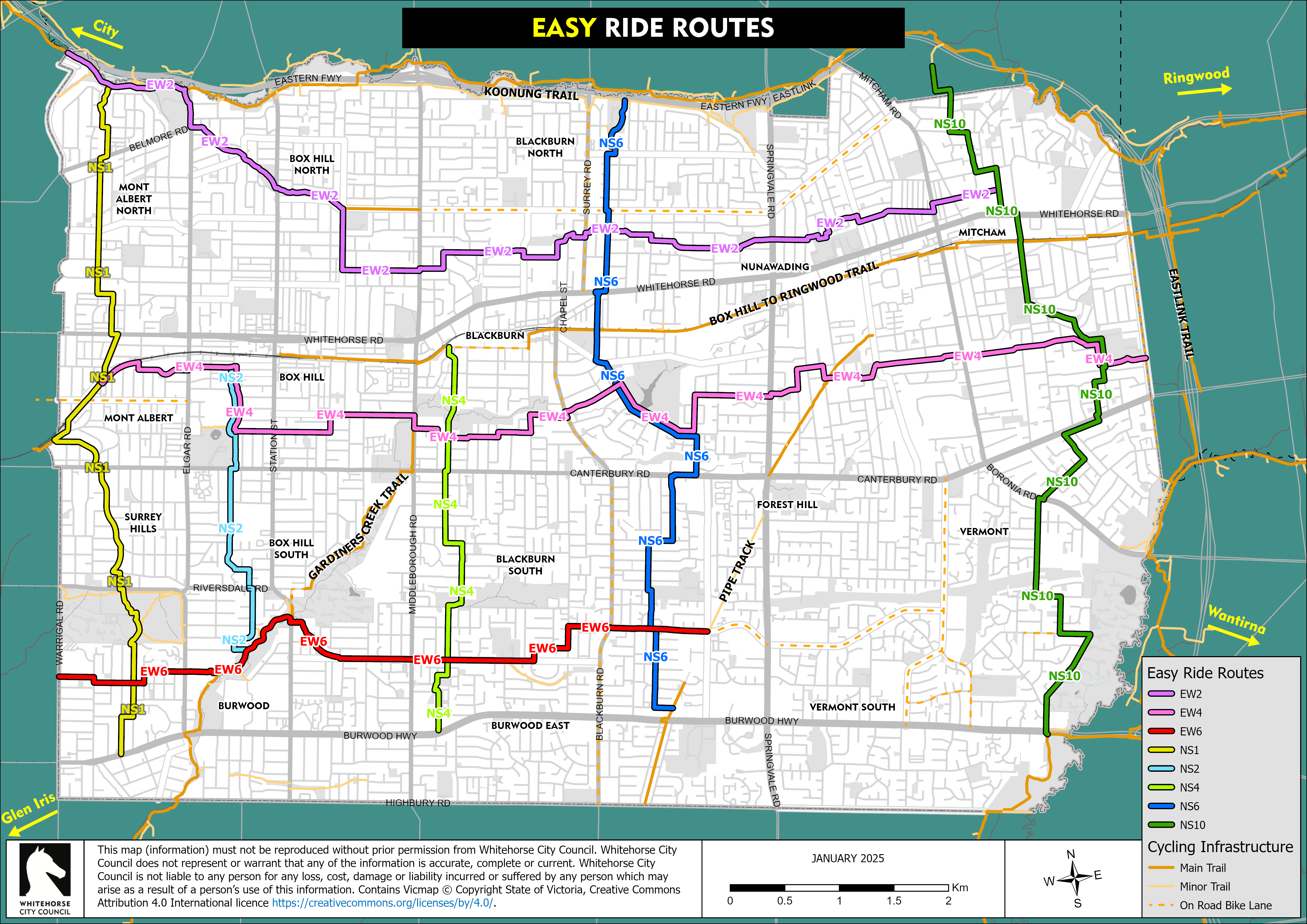
Right click on the map to save it as a JPEG, or download a PDF copy of the Easy Ride Routes map with detailed street markings ( PDF 2.16MB).
Your nearest Easy Ride Route
Here's the key information on each of our 8 Easy Ride Routes including:
- the suburbs they're in
- the major roads and trails they use
- the landmarks you'll pass along the way.
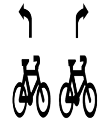
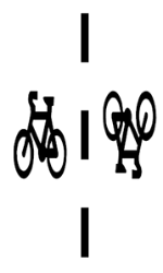
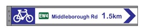
Symbols and Signage
You'll find various symbols and signs to help you on your journey on the Easy Ride Routes network. Learn about them below.